


Perimeter security radar series
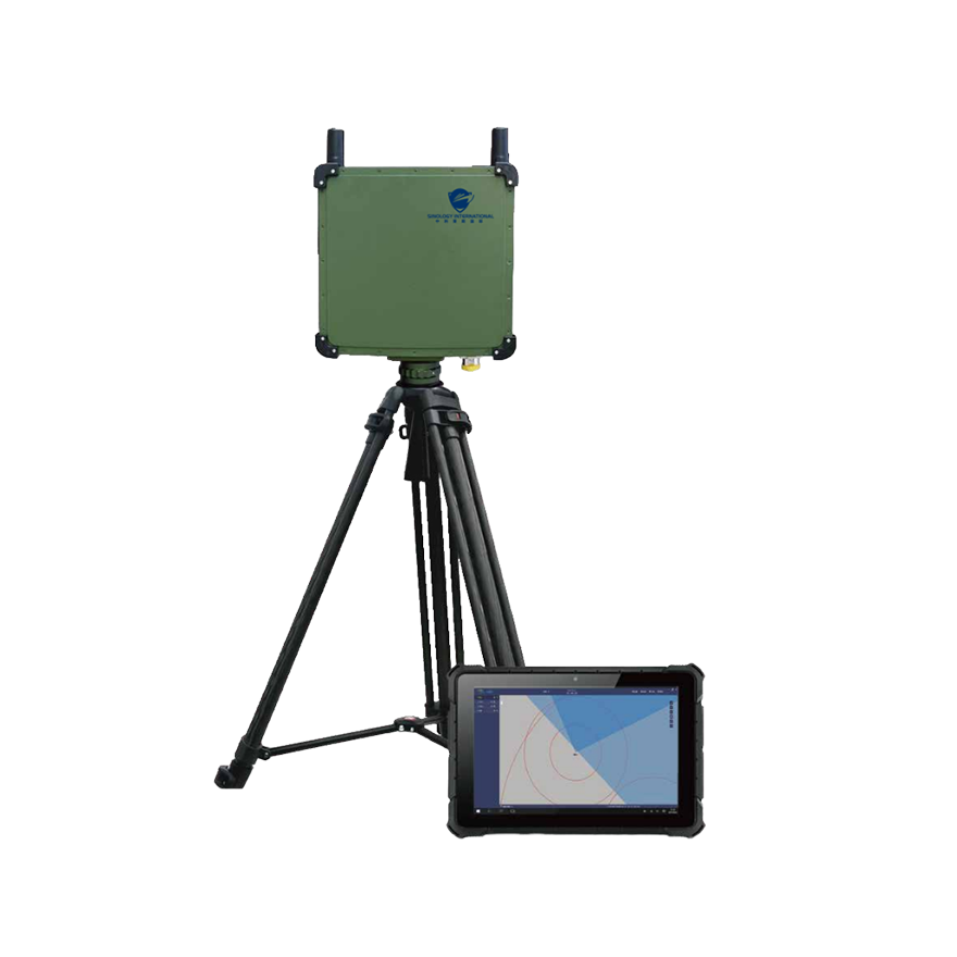
The Sinology LSR Perimeter Security Series phased array radar is designed for perimeter intrusion security. Utilizing K-band phased array technology, the radar offers high positioning accuracy and can automatically coordinate with high-speed surveillance cameras to track targets. It provides real-time alerts to users, enabling quick verification of alarm triggers and appropriate emergency responses. Unaffected by light, visibility, or harsh weather conditions, this radar operates reliably in heavy rain, snow, dense fog, sandstorms, and other extreme weather, making it a truly all-weather, 24/7 monitoring sensor.
The radar can detect moving human targets at a distance of up to 100 meters and vehicles or vessels at up to 200 meters. With a horizontal monitoring angle of 90 degrees, it offers wide coverage, effectively reducing blind spots and achieving full-area monitoring. The system supports automatic networking of multiple radars and cameras, as well as integration with satellite maps and cameras, enabling comprehensive monitoring of large-area perimeter security. Deploying this radar in a perimeter security system allows for unmanned operation, high automation, reliability, and efficiency, significantly reducing the workload of manual security patrols.
Related products

Functional characteristics
(1) Detection: Radar combined with optoelectronics detects targets. The information detected by radar for moving targets includes longitude, latitude, distance, azimuth, velocity, direction of motion, etc.
(2) Tracking: Radar and electro-optical systems automatically link to track intrusion targets such as personnel, vehicles, etc.
(3) Identification and monitoring: Mark and display the location and motion trajectory of the target on the map, and track and monitor in real-time; Linkage intelligent ball machine tracking, capturing and close range recognition.
(4) Positioning and orientation: Based on the position and pointing north of the detection equipment, radar detection is used to obtain the distance and orientation of the target, and the geodetic coordinates of the target are converted to obtain the coordinate position of the detected target.
(5) Map display: Using GIS maps, display the target in real-time on the map and show parameters such as latitude and longitude.
application area

